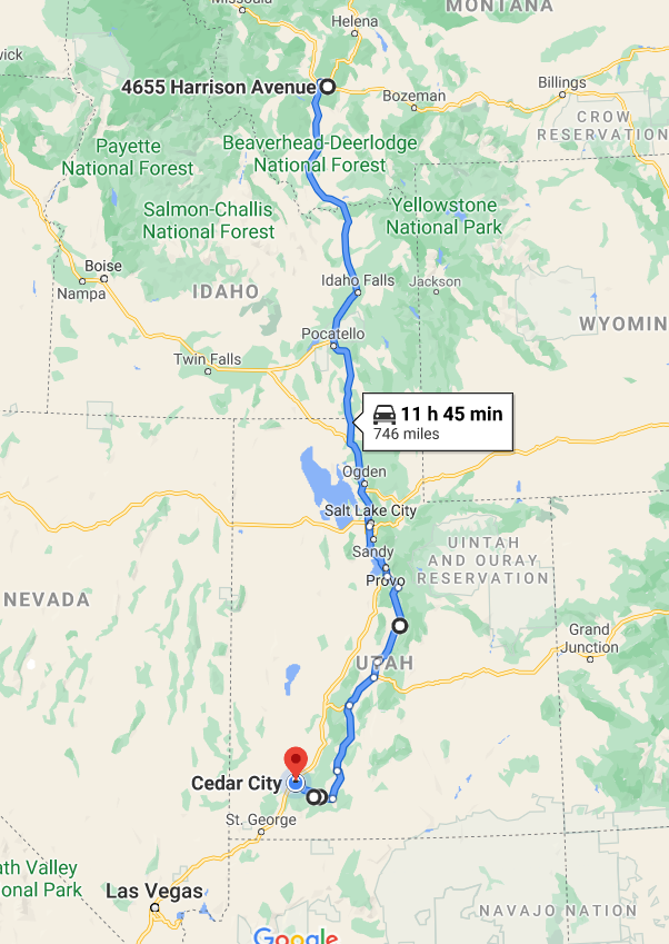
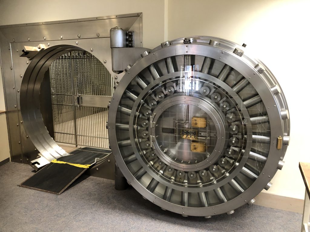
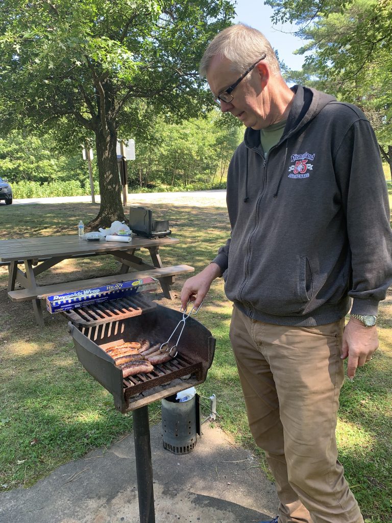
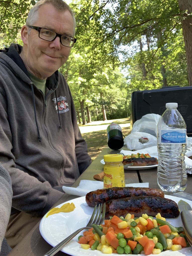
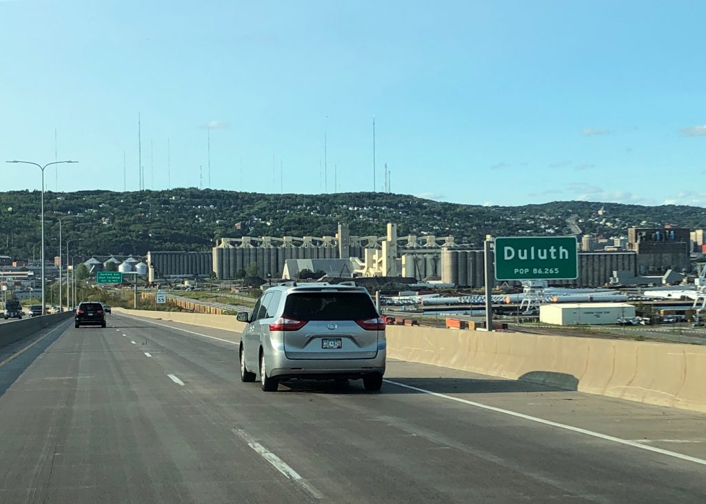
Counterclockwise Sept 16, 2020

Cedar City to Home

496 miles, 8,178 cumulative

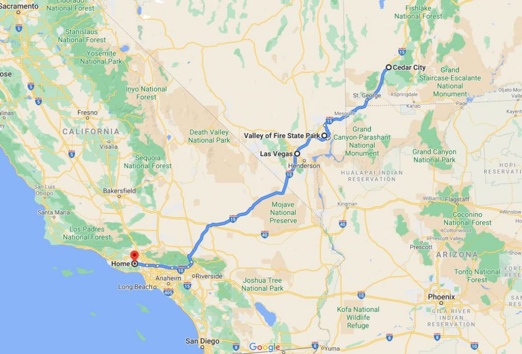
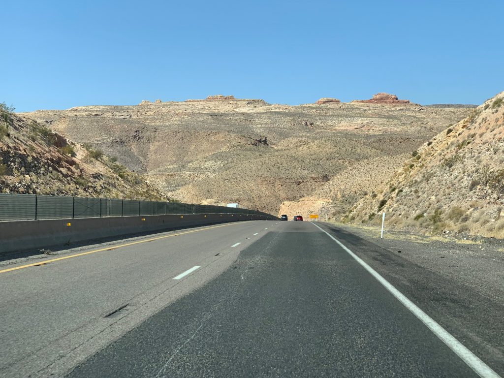
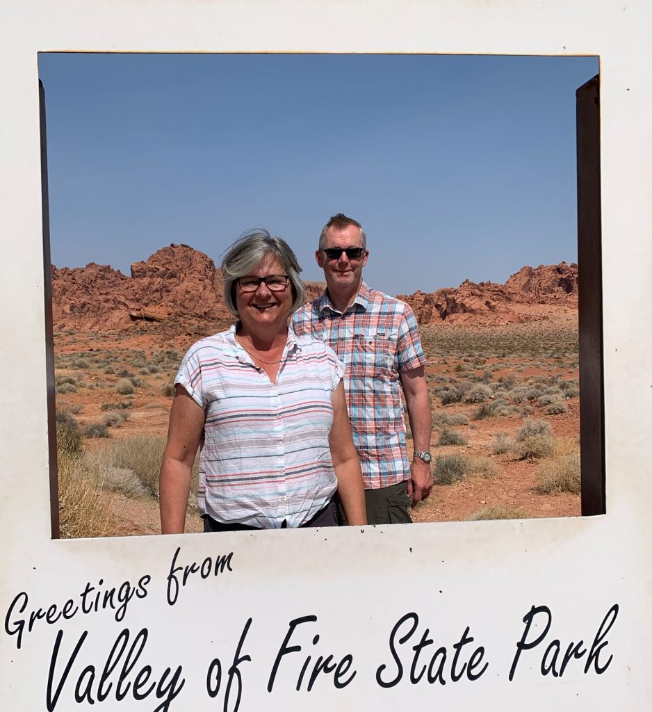
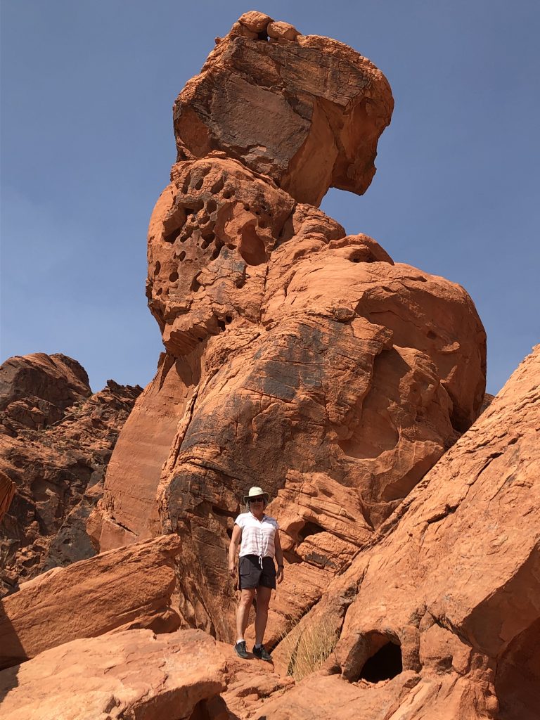
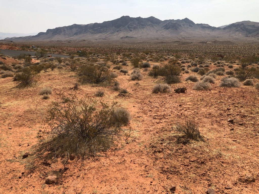
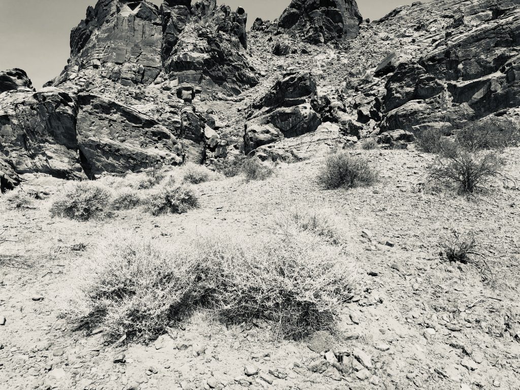
A somewhat lazy morning; walked over to the Grind for a morning coffee and a bagel.  Departed around 10.00am taking I-15 south, a familiar route to us after so many years driving to Moab and Denver.  This being our last day we decided to make one more sightseeing trip and cook our lunch in a state park.  Valley of Fire State Park in Nevada was a place we’ve never visited before and it was small, but spectacular, with red rock dominant and a rainbow of color created by the varying shades of sandstone, limestone, shales and conglomerates.  It was 104 degrees, so we abandoned plans for an extensive hike and simply visited the balancing rock near the visitor’s center.  We then drove to White Domes and had our lunch at a covered picnic area; we got the Coleman stove out for the last time and cooked tortellini with pesto sauce.  We then rejoined I-15 and turned for home, getting back to Woodland Hills around 7.00pm.

http://parks.nv.gov/parks/valley-of-fire

I-15, Virgin River Gorge

No caption needed

Balancing Rock

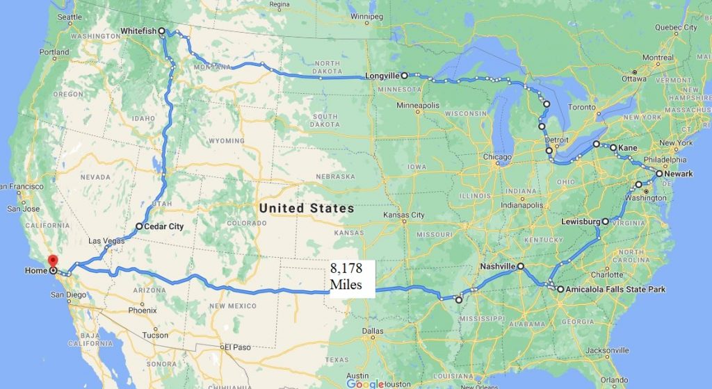
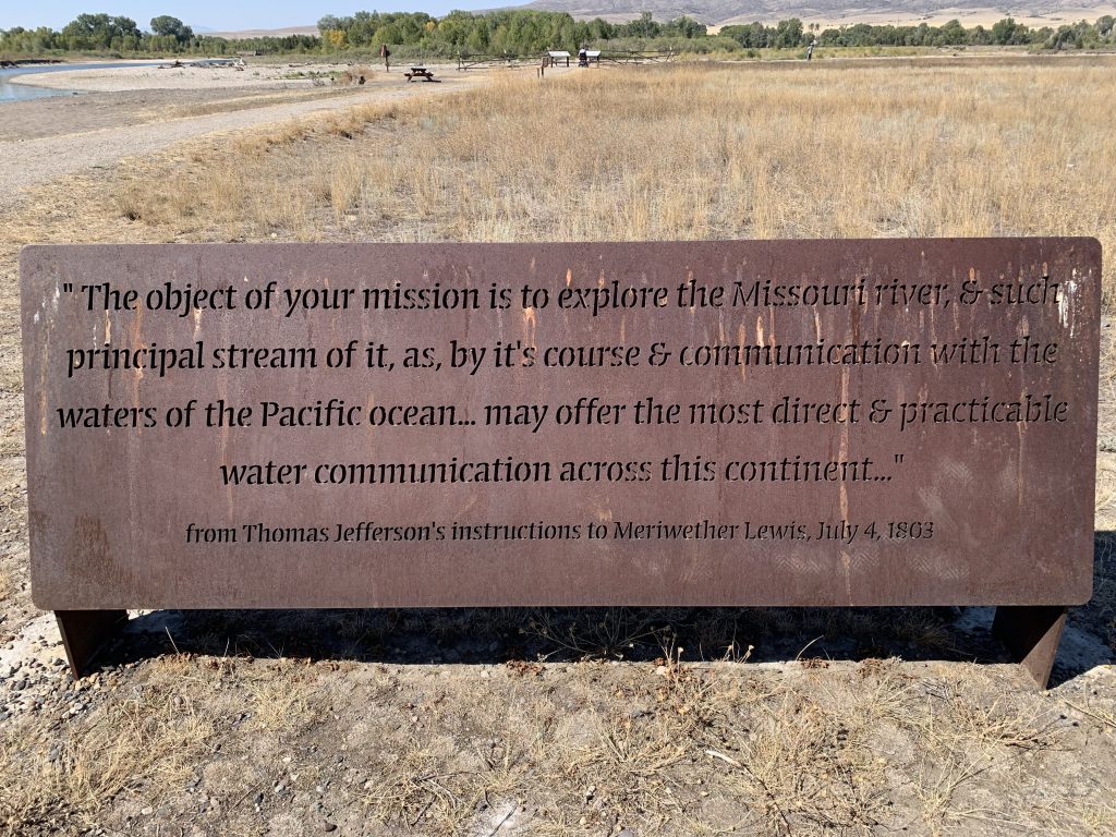
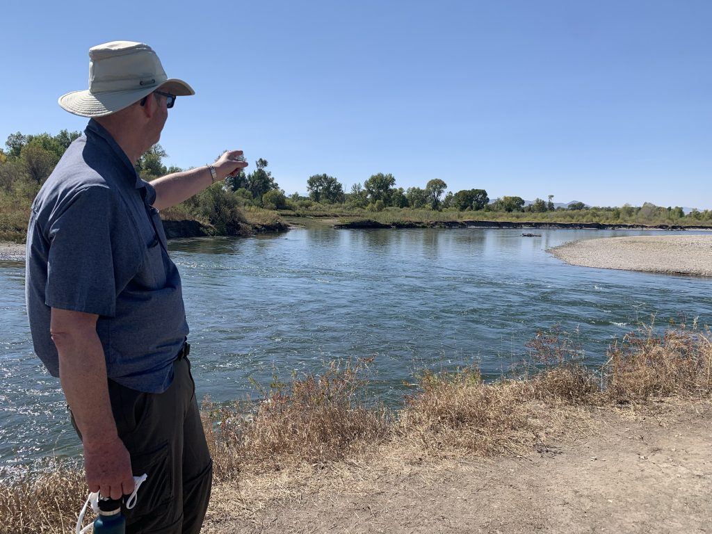
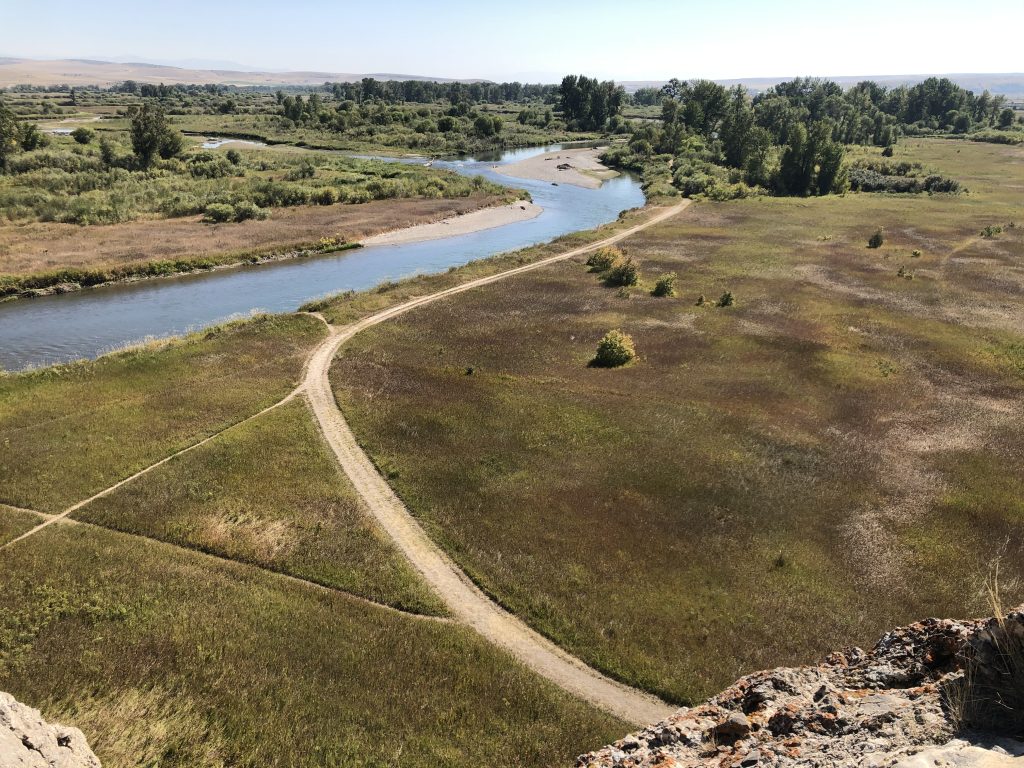
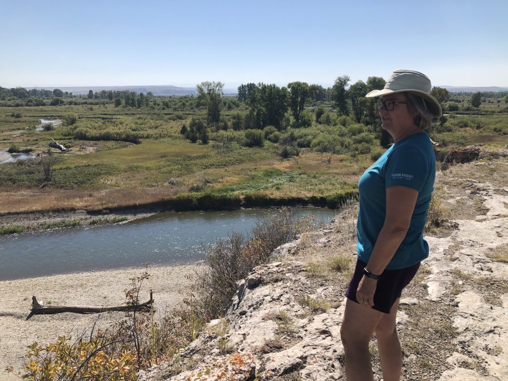
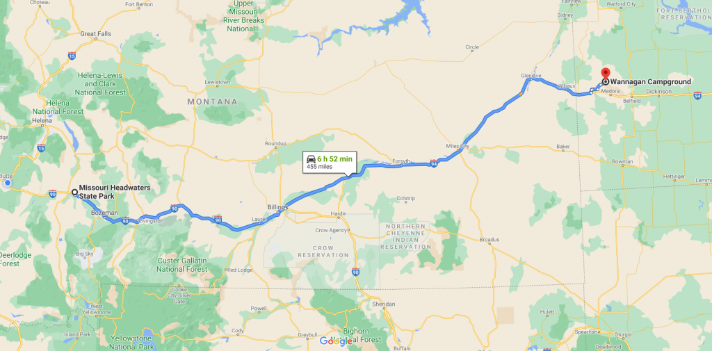
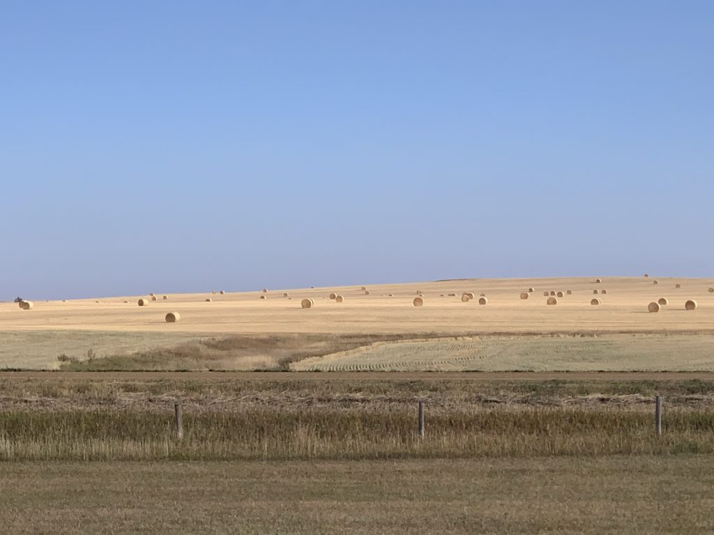
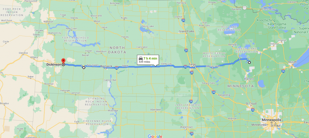
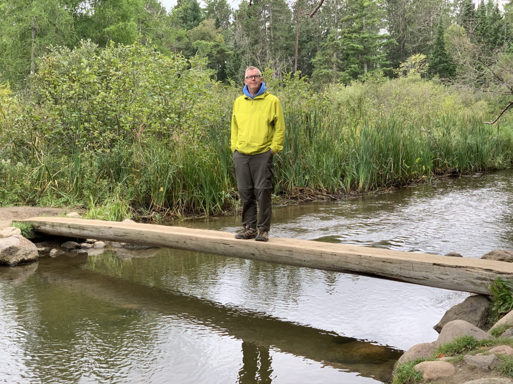
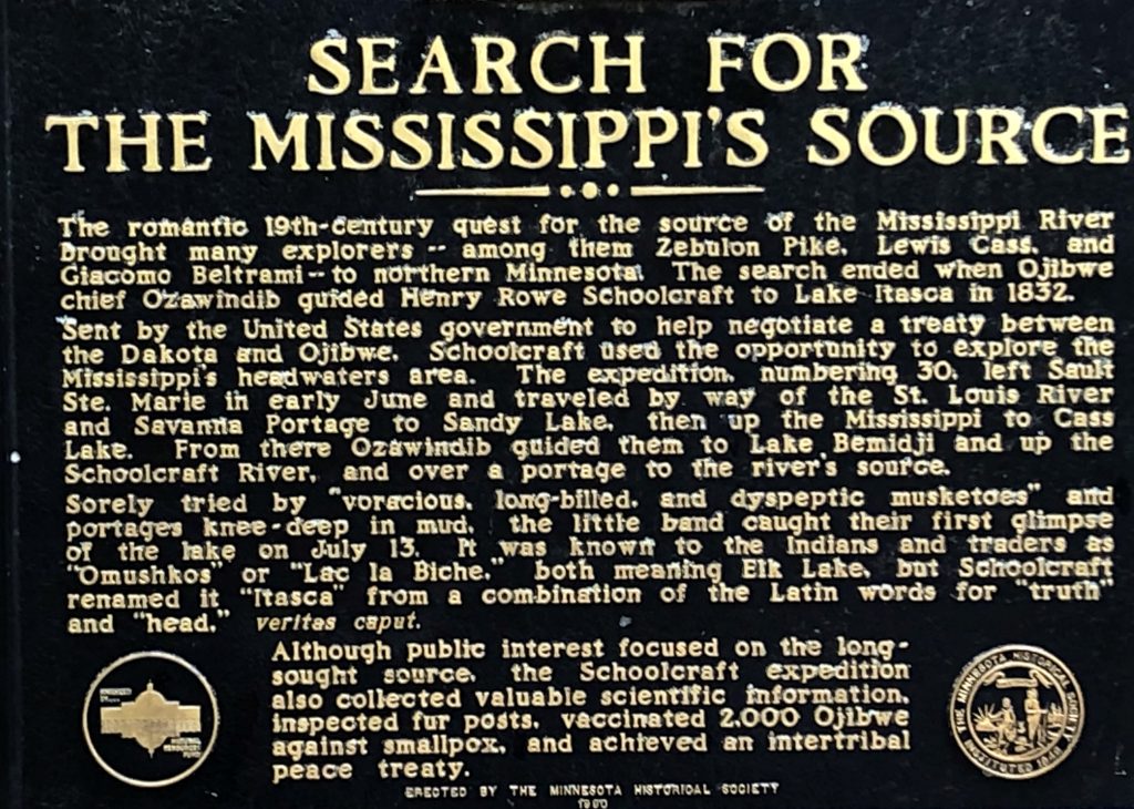
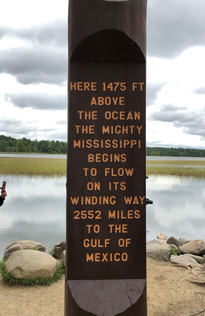
In 30 days we traversed 22 states (California, Arizona, New Mexico, Texas, Oklahoma, Arkansas, Tennessee, Georgia, Virginia, West Virginia, Maryland, Delaware, Pennsylvania, Ohio, Michigan, Wisconsin, Minnesota, North Dakota, Montana, Idaho, Utah and Nevada) and drove 8,178 miles. We saw the headwaters of two of America’s great rivers; the Mississippi and the Missouri. We saw four out of five of the Great Lakes. We crossed the Great Plains in both directions, a thousand miles apart. A breathtaking, epic road trip.

In this terrible year of COVID it was encouraging to see many, many people wearing masks and businesses being careful; the exceptions were rare. Politics intruded, how could it not?  We drove through rural America and the Trump lawn signs were out in force.  Pickup trucks with large Trump flags.  Someone in Idaho Falls selling flags at the side of the road; confederate and Trump flags side by side.

East, North, West, South

Counterclockwise Sept 15, 2020

Butte to Cedar City

746 miles, 7,682 cumulative

Departed at 6.40am before dawn from Butte and went south on I-15 towards Idaho Falls.  Stopped there around 10.00am for a Starbucks and got some steps in walking around Walmart.  Bought a cheap sleeping bag because it looked like our upcoming camping nights would be pretty cold.

I-15, 8.25am

The sky started to lighten and the dust seemed to dissipate somewhat as we moved from Montana into Idaho.  By 10:30am the sun was casting a shadow again and it was quite bright but still somewhat hazy.  At noon, we crossed into Utah and had lunch in a city park near Ogden (steak sandwiches yum).  We decided to press on south, aiming to camp at Navajo Lake; Waze told us we would get there by 7.00pm, but we were quite confident we could get the tent up and have dinner cooked before dark.

At Spanish Fork, we peeled off east and headed south on Hwy 89. This was a great choice over I-15 because Hwy 89 winds through a wide valley and the fall colors were pushing through.  At this point the air was very clear and we seemed to have escaped the worst of the fire smoke. The road sits next to the Sevier river south of Richfield and is a great driving route with numerous snaking turns and a 65 mph limit.

Along Hwy 89

Unfortunately, when we got to Navajo Lake the campground was full. We tried nearby Duck Creek but it was the same story.  This is the last camping week of the season and we surmised that everyone was trying to get their last trips in before they shut down.  Leaving Duck Creek at dusk, we saw deer in the meadow. 

Oh deer….

Booked into a hotel in Cedar city, we visited our favorite pizza restaurant, Centro, and shared a very nice meal. Still the best pizza ever.

Today was an epic drive of 746 miles, but it didn’t seem that long.  I-15 was easy, 89 was spectacular and it was good to get out of the smoke. 

We made the decision to return to LA tomorrow and forgo any further sightseeing or camping diversions. Those must wait for next time.

Counterclockwise Sept 14, 2020

Big Fork to Butte

277 miles, 6,936 cumulative

After a call to Subaru regarding the tire they confirmed it was not covered by warranty, but rather nicely, they gave us a $200 goodwill coupon.  I called the local Subaru dealer in Whitefish (‘Don K), and scheduled an appointment.  The tire was fixed very quickly, and I even got some filters thrown in as well.  This was our second visit to a Subaru dealer this road trip and on both occasions, the service once again was top notch.  They even washed it, which must have lead to pounds of multi-state dirt pouring down the drain.

Jeri is attacked by a fierce black beast in Big Fork

Thus equipped, we headed back to Chris and Terese’s place in Big Fork, stopping on the way back in Kalispell for Jeri to visit a yarn store.  Given the poor air, we gave up on our planned trip to Glacier National Park and the bike ride on the Hiawatha Trail because hiking or biking in unbreathable air was a no-no, and elected instead to head home directly.

I-90 heading south, near Missoula

We put some miles on and got to Butte by 7.15pm.  It was our 24th wedding anniversary so we had a steak dinner at the Rib & Chop House on Harrison Avenue.  Although we had toyed with the idea of continuing the drive, the steak and wine combined to encourage us to end our day’s journey at the very conveniently located Copper King hotel, just 25 yards away.

Counterclockwise Sept 13, 2020

Butte to Big Fork

218 miles, 6,642 cumulative

Spent the morning in Butte.  Jeri worked on tax returns; the imminent 9/15 tax deadline was pressing.  I visited the laundromat.  On the road again, we headed north and west over the mountains to Big Fork, but the air quality was terrible.  The fires burning in the west have caused smoke to cover the entire area and even with the car’s AC set to recirc it was noticeably smoky inside.  At around four in the afternoon, just south of Polson, I pulled over to allow Jeri to drive and heard a loud bang.  For the first time in decades we had a puncture!  The right rear tire was completely flat.  We soon had emptied out the back of the car and jacked it up with the scissor jack. Then we saw a four-inch lump of metal embedded in the inner fender well.  Apparently, the metal must have punctured the tire and then been thrown into the inner fender.  It did not take long to install the temporary spare and put everything back, but the full size damaged wheel/tire takes up more space and so the equipment tray had to be stuffed in on top of everything.  After a few calls, it became obvious that it would be impossible to get a new tire on Sunday afternoon in rural Montana. 

The offending metal object

Roadside mechanic at work

On the way north, three bears crossed our path when we were driving north on highway 35 on the east side of Flathead lake. Unfortunately, we could not get the camera out in time. Got to Big Fork at 5.00pm and Chris let us into the garage.  After a few glasses of wine, we headed out for dinner with Chris and Terese to a bar called the Raven, about 5 miles south of town. Jeri enjoyed her ribs but it was cold on the patio.

However, given the poor air quality the remainder of the trip is in doubt.

Smoke-filled skies driving to Big Fork

Counterclockwise Sept 12, 2020

Missouri Headwaters to Butte

59 miles, 6,424 cumulative

Missouri Headwaters State Park CG

A lazy morning waiting for the sun to warm up the campground and the tent.  Jeri did some tax work, I wrote the journal.  We (Jeri) installed the new rear tire on my bike.  Left CG at noon and drove further into the Missouri Headwaters State Park.  Landscape was hot and dusty.  Parked at the picnic area and did a two-mile hike back along a ridge with the Gallatin river to our left, then walked to the confluence of the Missouri, Jefferson and Madison rivers.

The confluence

Had sausage sandwiches in the picnic area in front of Lewis rock.  There were others enjoying the mild weather but all maintained their social distance.  Oddly, the longer distance is mandated, the more people seem to strive for contact, nods and smiling eye contact.

Gallatin river viewed from Fort Rock
Fort Rock

Lewis Rock, upper left, where Meriwether Lewis sat to map the area

The park didn’t quite look as expected partly because it was so dry. But the picnic area by the Gallatin was very pleasant. Very good displays highlighting the story of Lewis and Clark and how they camped here. After a couple of hours, we’d seen all we needed to see and so launched ourselves back on to I-90 heading northwest to Butte.  Quality Inn did the trick and we had leftovers in the room after extensive bathing to get rid of the lingering smoky campground odor.

We both agreed that mid-September in this part of Montana looked a lot like Southern California; the occasional green, but mostly brown landscape, in contrast to the green we’d been driving through since leaving Newark over two weeks ago.

Also, this is our final week and we can feel the pull of home now. After Glacier NP we need to decide whether to head home directly on the interstates or to take our time to seek out landscape and sights.

Counterclockwise Sept 11, 2020

Wannagan to Missouri Headwaters

459 miles, 6,364 cumulative

Cold night at Wannagan, woke at 7.00am.  Coffee warmed us, but Jeri’s fingers hurt with the cold.  Cereal and fruit for breakfast, out of the CG by 8.00am for the 20-mile gravel road drive to I-94.  Pretty much interstate all day, rolling great plains, wheat, corn and pasture. 

North Dakota badlands

Stopped at Pompeys Pillar for a brief walk and lunch.  Display and graffiti/carving unfortunately off limits, but the facsimile was good.  This was one of the things to see on our list; the only tangible evidence of the Lewis and Clark Corp of Discovery where William Clark carved his name on a prominent rock near the Yellowstone river.  Clark named the rock for Sacajawea’s son, but native American peoples had known of the rock for many years and left numerous carvings on the rock as well. Very low on gas, our chosen gas station was out of operation but ‘Tiger Town’ in Ballantine did it for us and we also got a 10lb block of ice for the cooler. Montana’s mountain ranges came into view, some with snow.  Made the Missouri Headwaters State Park CG at 5.00pm.  Unfortunately, we could only stay one night but that turned out not to be a bad thing.  The campground was very open and our site was very close to others and seemed quite ‘urban’.  Parked on a concrete pad which turned out to be an ADA site which we booked by mistake, but the warden let us stay anyway.  Booked Saturday and Tuesday night hotels, Jeri cooked meat sauce with peppers and onion served with edamame spaghetti and Mark West Pinot.  Bed at 9.15.

Yellowstone river

Counterclockwise Sept 10, 2020

Dickinson to Wannagan

78 miles, 5,896 cumulative

Left Americinn Dickinson 8.15am after breakfast (cereal, yoghurt, coffee) and hit I-94 for the short drive to Theodore Roosevelt National Park.  Stopped at Painted Canyon visitors center for a map and to purchase some t-shirts, a book and a stuffed bison.  Wonderful views of the North Dakota badlands from right there near the parking lot. Drove on a short distance to Medora to enter the park at the south entrance. Beautiful fall sunshine 68 degrees, drove slowly along the scenic drive for about 11 miles; we were restricted from driving the entire loop because most of the road was closed due to repairs. Saw some wild turkeys (collective noun, ‘case’?).

Theodore Roosevelt NP, view from Painted Canyon Visitors Center

View from Wind Canyon trail

Arrived at Wind Canyon and took the 0.4 mile loop up to the viewpoint looking over a fantastic bend of the Little Missouri river.  Alas no bison.  Descended to Peaceful Valley ranch and did a 2.8-mile hike over towards the Maah Daah Hey trail intersection.  Three interesting things about this hike; firstly, the landscape was classic western badlands with horizontal sedimentary layers and buttes everywhere, secondly we had to ford the Little Missouri by removing our boots and socks and (for Tim) lower pant-legs and wade across 2 foot deep water and lastly we passed through an extensive prairie dog town and the animals were only a few feet away from us; they were concerned, judging by the calls and whistles.  We saw a frog in a stream and a lot of grasshoppers with black wings but wood colored bodies.  Great hike, no one else on the trail.

Wading across the Little Missouri

Maah Daah Hey trail marker

Here is the video of our hike;

Afterwards we drove onto the Cottonwood campground to have a picnic of cheese (Tim) and PBJ (Jeri) sandwiches.  Finally, on the way back we spotted one bison; lack of numbers made up for by the fact that he stood silhouetted against the afternoon sky.  On exiting the park, we bought firewood in Medora and took the 20-mile gravel road to the campsite at Wannagan, not knowing if we could find a place.  We got there around 3.30pm and luckily there were 4 or 5 sites for us to pick from.  I soon had the tent up and our site was in order. 

A bison!

Feral horses

We took the bikes and did a little climb up to the Maah Daah Hey trail.  Dinner consisted of brats, boiled potatoes and mixed veg with a bottle of chardonnay and another of cab.  We lit a fire.  The stars were amazing; the whole sky was filled with the milky way. Three shooting stars! Wonderful site wonderful evening.

Road to campground

Wannagan CG

Counterclockwise Sept 9, 2020

Longville to Dickinson

439 miles, 5,812 cumulative

Left Longville at 10.00am. Visited Walker for gas, sausages and wild rice. Stopped at Hornbacher’s grocery store in Fargo to stock up for the next few days of camping. Lunch in the parking lot; used our folding aluminum table for the first time.

The trees thinned out between Walker and Fargo into corn fields and open grassy range. The line is fuzzy, but the Great Plains seemed to start in North Dakota around exit 233 on I-94.

Paul Bunyan; quite a tall person, apparently

Salem Sue (or The World’s Largest Holstein Cow) is a giant fiberglass Holstein cow sculpture located in New Salem, North Dakota.

I-94, North Dakota

Geese in Flight – Enchanted Highway

North Dakota was certainly nicer looking and more interesting than we had previously imagined. Once we got out onto the Great Plains, the landscape was decidedly not ultra-flat. Numerous streams and rivers carved valleys into the land and there were odd mounds and hillocks dotted around. We saw an enormous Paul Bunyan in Minnesota and an enormous plastic cow in North Dakota.  Driving in the US you often come across larger than life things like this.

Got to hotel in Dickinson at 6.30pm mountain time, time zone change saved us another hour!

Counterclockwise Sept 7-9, 2020

A wonderful lakeside stay with our friends. Rides in the pontoon boat and the speedboat, visits across the lake. Baby snapping turtles. A fish fry. Minnesota grits with eggs for breakfast. Stand-up paddle-boarding. Red Wing jigsaw. Games of Sequence. Saw a bald eagle swoop over the lake and sit in the tree near the cabin with a fish. But regrettably, due to covid, no visits to local bars to experience a meat raffle or to gamble with pull tabs.

Jeri takes to the lake…

Baby snapping turtles, heading for water

Federal Dam. Controlling water to numerous lakes and ultimately, the Mississippi

Tim crosses the mighty Mississippi without a care in the world

On Sunday we erected the tent and the annex and they both dried out nicely. On Monday we drove to Federal Dam and Itasca State Park to see the headwaters of the Mississippi. On Tuesday, headed out in two ATVs; one a sit on quad bike the other a side by side Can Am. Tim and Jeri in the Can Am.  What a blast! We drove for about two hours, a few miles into the forest along alternately muddy and sandy trails, nothing too difficult but definitely would have been tricky on a mountain bike. Four-wheel drive, noisy, no power steering, automatic, but it slogged through the mud no problem. Came to a clearing near a lake and had a little picnic of chicken sandwiches, red wine, cold sausage and potato chips. My arms hurt by the time we got back.

She’s an outdoors girl

Youtube video of ATV drive;

ATVs in the forest

Leech Lake, from Federal Dam

We noticed the onset of fall as some of the trees were stating to turn yellow and red. Temperature was in the 50’s, but apparently there are only two seasons in Minnesota – winter and road construction…

Farewell, land of 10,000 lakes

Counterclockwise Sept 5, 2020

Wausau to Longville

389 miles, 5204 cumulative

Packed quickly and left at 9.00am for Antigo. Glorious sunny morning drive through rich farmland.  Stopped on the outskirts of the town for a coffee in a cute independent coffee shop.  Cheryl at Chase was wonderful; she took charge and soon had our new account set up, she even allowed me to take a picture of the bank vault door. Strange but true.

Ignored Waze and took highway 51 north back up towards Ironwood.  Stopped at a roadside stop north of Woodruff near Diamond lake and cooked sausages for lunch.  Had mixed veg, cheese and stoneground bread.  Lovely.

Roadside rest stop, Wisconsin

Always with the Colmans…

Long drive on highway 2 in Wisconsin west to Duluth. Flattish road with trees either side not much to see but at least the sun shone.  Once into Minnesota, took highway 200 towards Longville. Crossed the Mississippi. Got to Brad and Michelle’s cabin around 7.30pm. Sat by the campfire, overcast, occasional stars, full moon, fell into bed.